
Brisk walking for exercise became part of my early morning routine. Each day I would head out in a different direction, go down a different street, walk a little further. I was soon familiar with the area surrounding Railway St. The route heading south from the back of the house became my favorite for these early morning walks. It was generally an uphill walk, just a gentle (no more than 20-degrees) slope, but it gave me a good aerobic workout. This route passed by the Wagga High School and the Riverina Institute; at the far end was the Wagga Botanic Gardens and Zoo, which was usually my turning point and where I start to walk back. There were some days, however, when I went all the way to the highest point; this gave me a good view of the town.

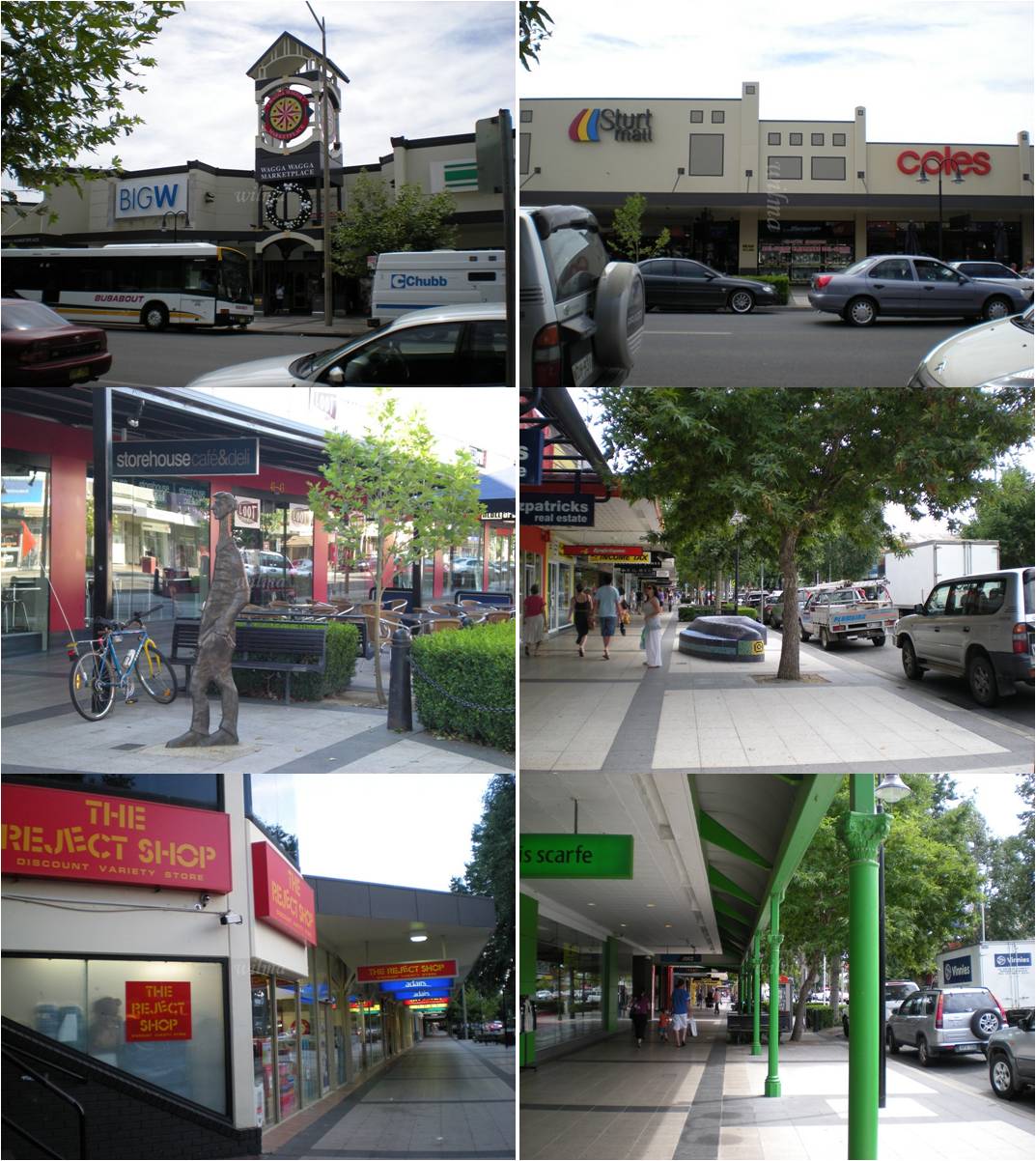
My days were usually spent at the library and to get there I simply walked north from the house. I cross the footbridge (called Mother’s Bridge) that took me across the railroad tracks and into Baylis St, the main shopping street. Baylis St passes in front of the library and if you follow it across the bridge that goes over the Wollundry Lagoon, the street becomes Fitzmaurice (this is at the northern end, the older part of town). So to get to the library, I pass through many commercial establishments (restos, boutiques, shopping malls). On a few (several is more like it) occasions, I had gotten side-tracked and have gone shopping (the SALE signs are magnets). At times I have had to go back to the house to deposit my goodies before heading back out again to make my way to the library.


No comments:
Post a Comment